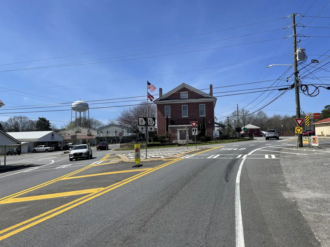
Listings, mail and maps all say “Dawsonville.” The tax bill, the trash pickup and the zoning office may say something else. Here is the difference and how to check it.
The ZIP code is bigger than the city
Census Bureau data show the 30534 ZIP area covers about 86 percent of Dawson County’s land and reaches into four other counties. The city is about 9.6 square miles. ZIP codes follow mail routes, not city or county lines.
What the line changes
- City property tax: none. The city levies 0 mills, so a city home does not pay more tax than a county home. Both pay 5.463 county and 10.8 school mills.
- Water and sewer. The city runs its own wells and spring and its own sewer plant. Outside it, the Etowah Water & Sewer Authority serves some areas and many homes are on septic.
- Garbage. City pickup is for city customers only.
- Zoning and permits. County Community Development handles unincorporated Dawson County; City Hall handles the city.
How to check a parcel
- Search the address on the county’s zoning map and click the parcel.
- Open its qPublic record.
- If in doubt, call City Hall at (706) 265-3256.
The city-limits guide has the rest, and the estimator shows that the tax comes out the same either way.
Written by the Dawsonville Homes Editorial Team. AI tools help us draft; people check every fact before it publishes.