“About an hour to Atlanta” hides a big spread inside Dawson County. We measured it from five points on OpenStreetMap roads, all in free-flowing traffic, so the numbers compare fairly even though rush hour is slower.
| From | Cumming | Alpharetta | Gainesville | Dahlonega | Downtown Atlanta | Atlanta airport |
|---|---|---|---|---|---|---|
| Dawsonville square | 28 min19.6 mi | 45 min33.5 mi | 38 min23.4 mi | 26 min14.4 mi | 74 min57.9 mi | 92 min68.2 mi |
| GA 400 at GA 53 | 18 min13.3 mi | 35 min27.2 mi | 27 min16.8 mi | 21 min14.6 mi | 64 min51.5 mi | 82 min61.8 mi |
| War Hill Park (Lake Lanier) | 29 min16.7 mi | 45 min30.5 mi | 33 min19.0 mi | 34 min20.2 mi | 75 min54.9 mi | 92 min65.2 mi |
| Big Canoe main gate | 47 min32.2 mi | 62 min31.6 mi | 57 min36.0 mi | 44 min27.0 mi | 82 min67.1 mi | 100 min77.4 mi |
| Amicalola Falls visitor center | 49 min36.2 mi | 66 min50.1 mi | 56 min36.8 mi | 28 min18.5 mi | 96 min74.4 mi | 113 min84.8 mi |
What the table says
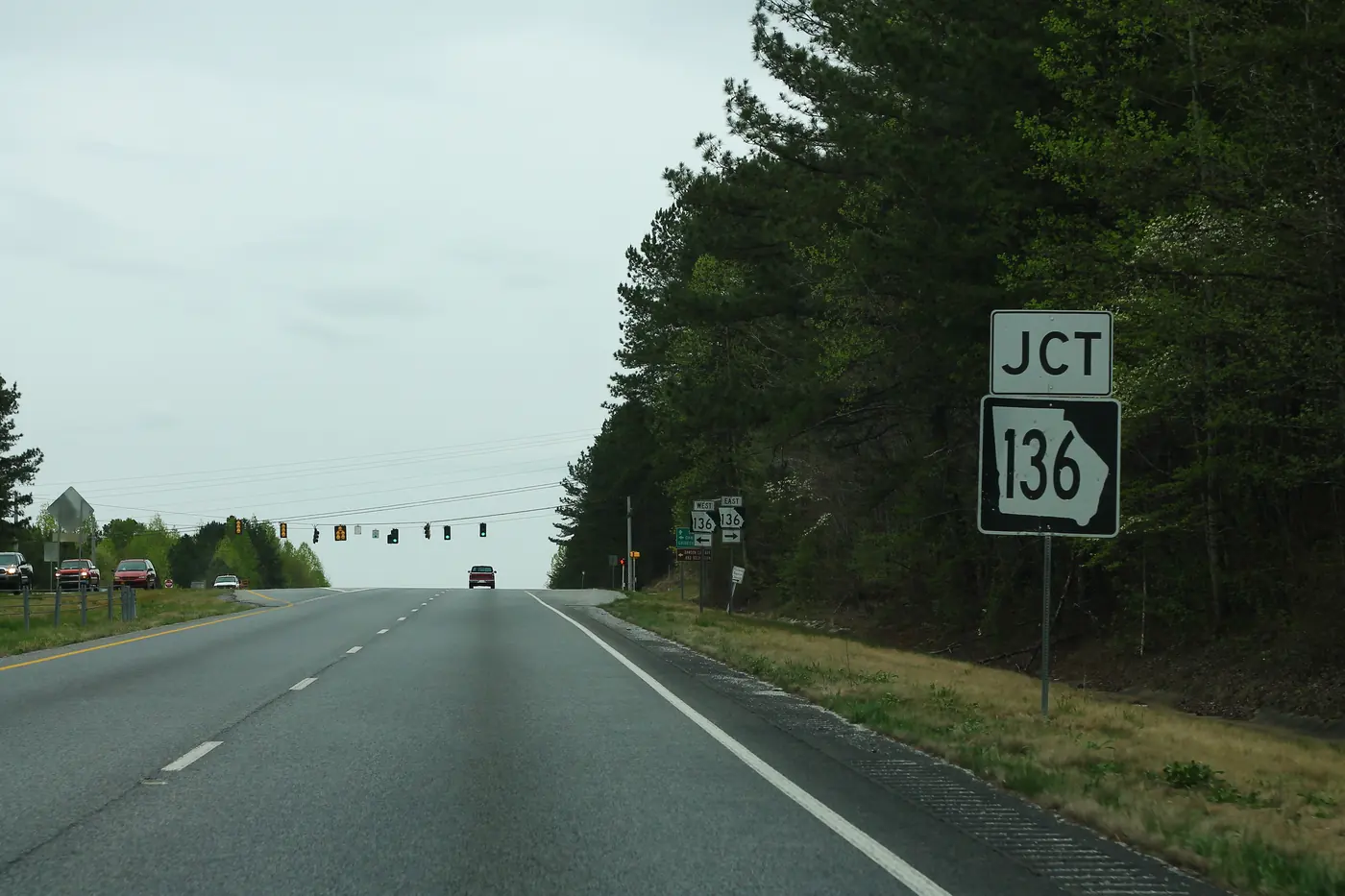
- The GA 400 side is the commuter side. From GA 400 at GA 53: about 18 minutes to Cumming and 35 to Alpharetta.
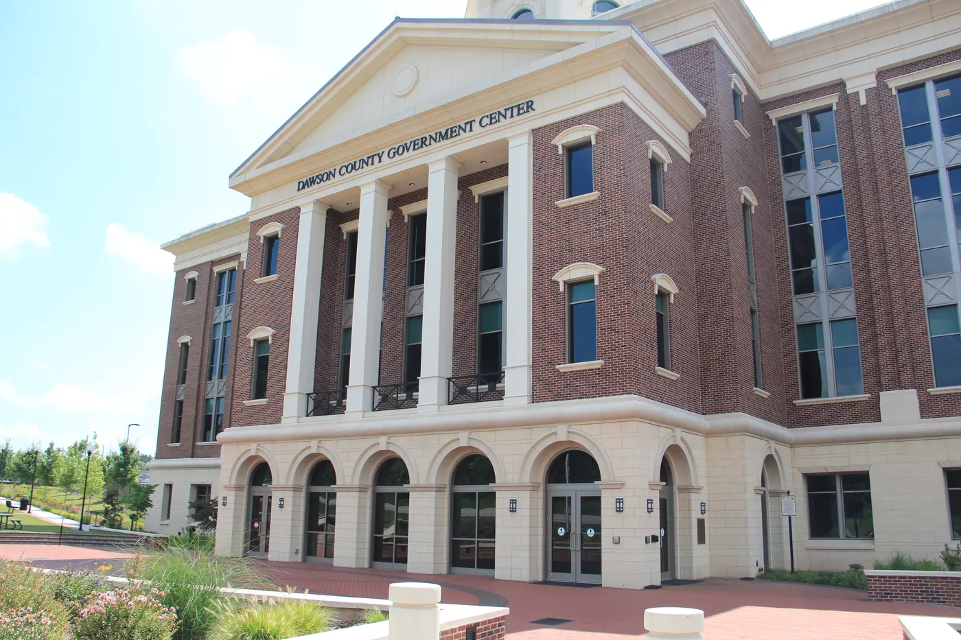
- The square adds about ten minutes. From downtown Dawsonville: about 45 to Alpharetta and 74 to the State Capitol.
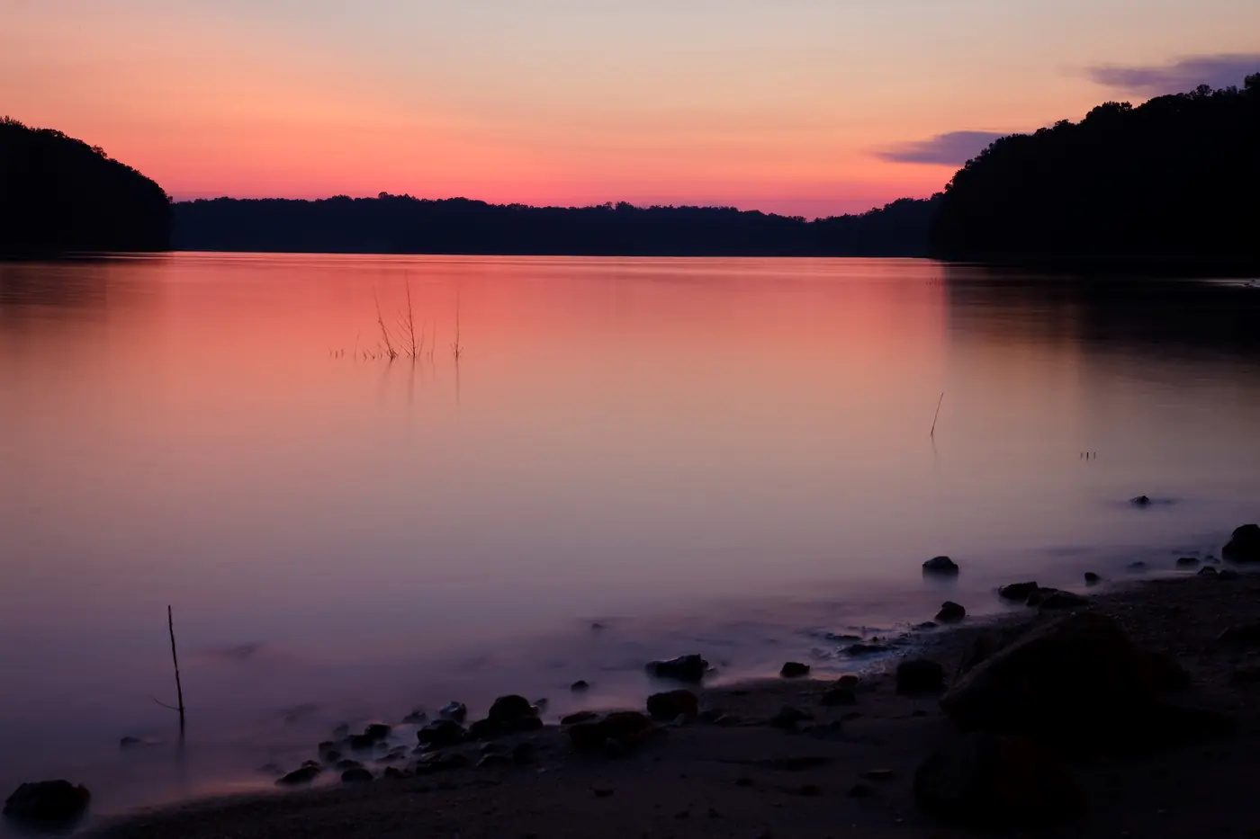
- The lake side leans to Gainesville. From War Hill Park: about 33 minutes to Gainesville.
- Big Canoe and Amicalola trade time for land. About 62 minutes to Alpharetta from Big Canoe’s main gate; 66 from Amicalola Falls.
- The airport. About 92 minutes from the square with no traffic.
Use it with the matcher
Mark “Shorter drive south on GA 400” as a must-have in the area matcher and see which parts of the county rise to the top.
Written by the Dawsonville Homes Editorial Team. AI tools help us draft; people check every fact before it publishes.